
$24.99
Free
100% Off
Valid Until: 28 Nov, 2026
MapCheck
Johann Burgess (Wild Devil Software Co.)

About the App
MapCheck is an offline map viewer, GeoPDF viewer, GeoTIFF viewer, GIS map app, georeferenced raster map reader, coordinate system tool, waypoint manager, field mapping app, survey map viewer, outdoor navigation app, and geospatial data utility for iPhone and iPad. Import your own digital maps and explore them anywhere, even without an internet connection or mobile signal.
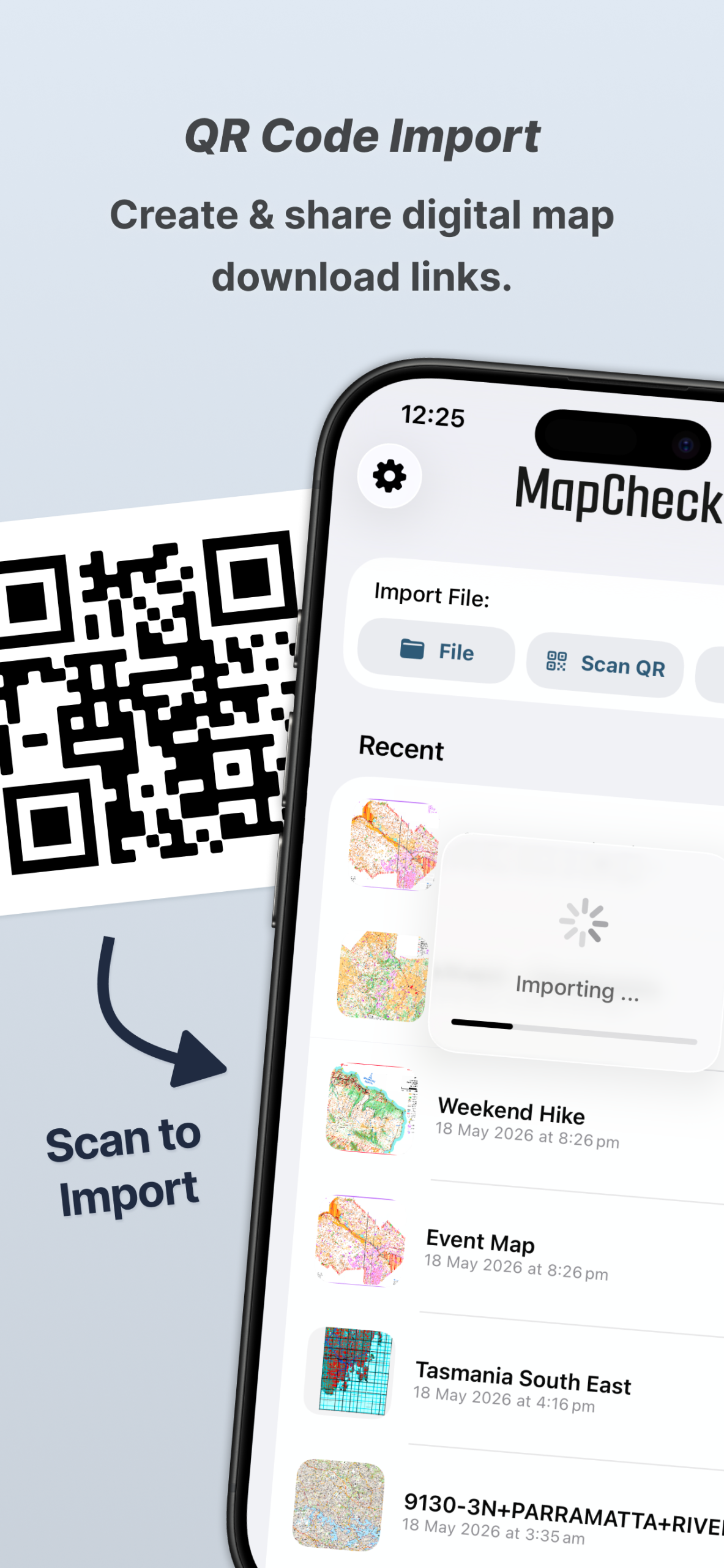
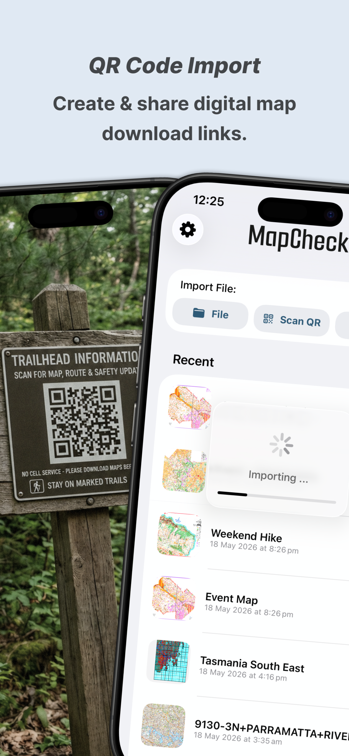
MapCheck supports GeoPDF, GeoTIFF, georeferenced raster maps, custom GIS maps, spatial datasets, coordinate reference systems, and map projections. Open maps directly from Files, AirDrop, QR codes, or web links and keep important geographic information available on your device for field work, travel, research, surveying, agriculture, outdoor activities, and professional geospatial workflows.
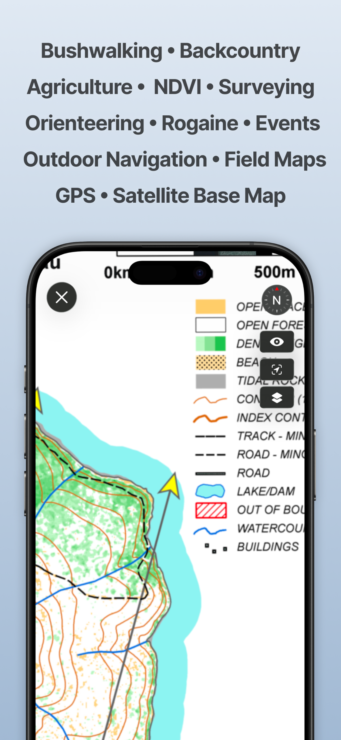
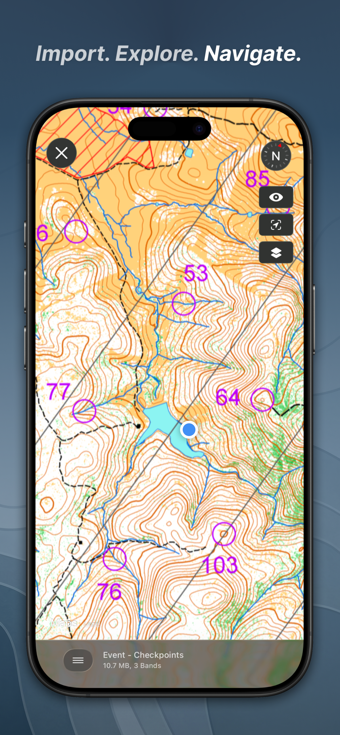
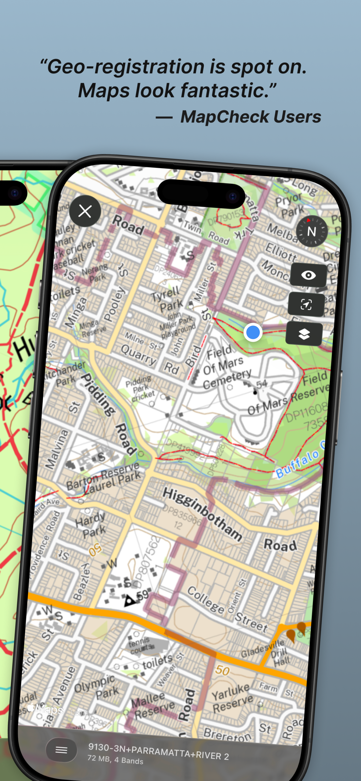
Use MapCheck to navigate with your current GPS location visible directly on imported maps. Pan, zoom, rotate, inspect, and compare georeferenced maps while seeing where you are in relation to property boundaries, trails, agricultural fields, survey areas, environmental zones, research sites, or other mapped features.
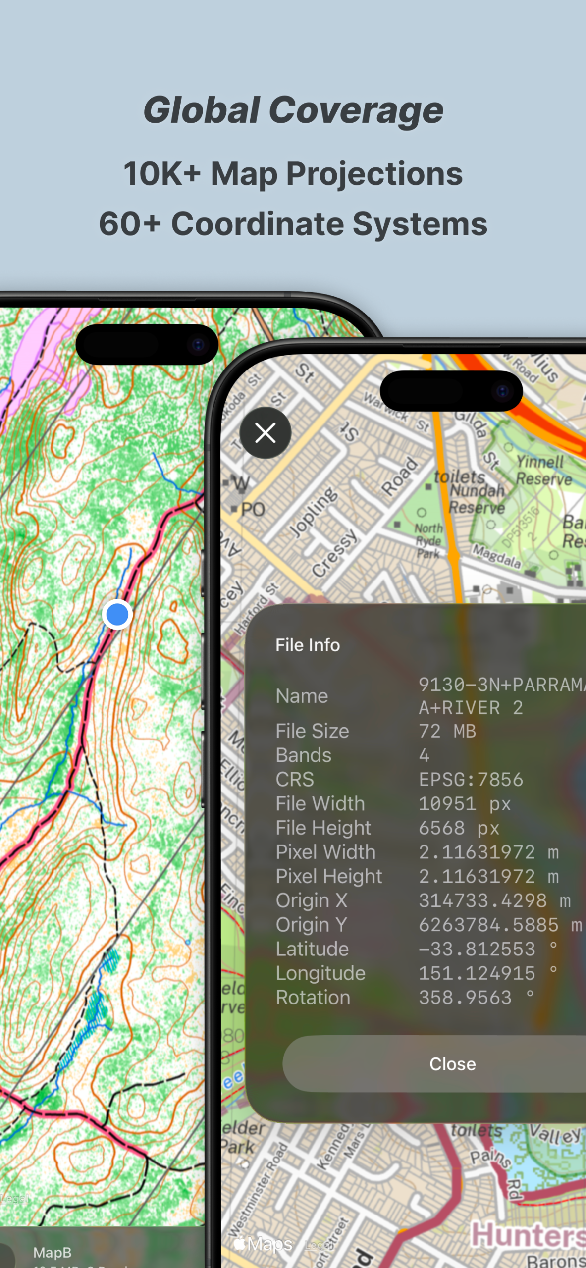
The app supports more than 60 Coordinate Reference Systems and over 10,000 map projections, making it useful for GIS users, surveyors, cartographers, geographers, researchers, land managers, and anyone working with spatial data from different regions or mapping standards. Whether your map uses a local CRS, national grid, or common geographic projection, MapCheck is built for flexible map viewing.
MapCheck also works as a waypoint mapping and field data collection tool. Save locations, add titles and descriptions, attach photos or files, and build a collection of important points directly on your map. Waypoints can be useful for surveys, inspections, trails, crop observations, environmental monitoring, property checks, infrastructure work, field research, and outdoor navigation.
Saved locations and field data can be exported and shared using common geospatial formats such as GPX, KML, and GeoJSON, making it easier to move waypoint and mapping data between MapCheck and other GIS, GPS, mapping, or field-data applications.
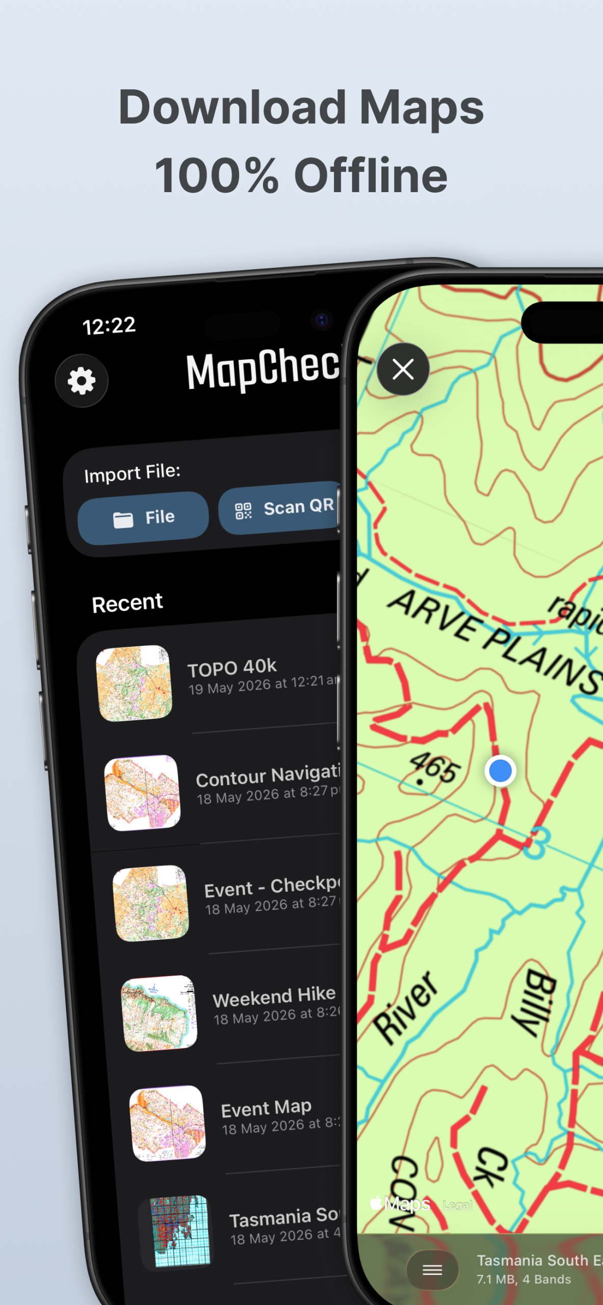
For offline field use, MapCheck processes supported maps on-device. Once your files are imported, you can continue viewing and navigating without a network connection. There is no account requirement and no need for a live map service, making the app suitable for remote areas, backcountry travel, field surveys, farms, forests, construction sites, research zones, and other places with limited connectivity.
MapCheck includes high-quality satellite basemaps for added context and comparison where available. You can use satellite imagery alongside your imported maps to better understand terrain, land use, vegetation, property boundaries, roads, natural features, and surrounding geographic context.
The app is useful for surveying, land management, property boundary review, agriculture, crop monitoring, forestry, conservation, ecology, environmental monitoring, trail navigation, bushwalking, hiking, mountain biking, fishing, orienteering, rogaining, research, education, waypoint mapping, and field data collection.
MapCheck also supports NDVI and visual maps, which can be useful for agricultural analysis, vegetation monitoring, crop assessment, environmental research, and land management. Farmers, agronomists, researchers, and conservation professionals can use compatible raster maps to review spatial patterns directly in the field.
Outdoor users can use MapCheck as an offline hiking map, trail map viewer, backcountry navigation tool, GPS map app, mountain biking map, fishing map, orienteering map, and wilderness mapping utility. Load your maps before leaving coverage, track your location on the map, and keep essential geographic information available without depending on a live internet connection.
Professionals can use MapCheck as a mobile GIS viewer, survey map app, property mapping tool, geospatial inspection app, land parcel viewer, field mapping app, coordinate system viewer, and raster map reader. Its support for advanced projections and georeferenced files makes it more flexible than a basic consumer map application.
MapCheck is especially useful for people searching for a GeoPDF app, GeoTIFF app, offline GIS app, GIS map viewer, georeferenced map viewer, GPS map viewer, raster map app, coordinate reference system app, map projection tool, KML exporter, GPX exporter, GeoJSON exporter, waypoint app, survey app, agriculture mapping app, offline navigation app, field data collection app, satellite map viewer, property boundary app, or outdoor mapping tool.
Whether you are reviewing survey maps, checking land boundaries, monitoring crops, navigating a trail, collecting field observations, studying vegetation, inspecting environmental sites, or simply carrying professional maps into areas without internet access, MapCheck gives you a powerful way to load, view, navigate, and share geospatial information directly from your iPhone or iPad.
MapDraw: Draw on maps
Corvin Hartmann
$4.99
$3.99

Dash Cam – Record Trips
翠珠 马
$9.99
$0.99